ECO NEIGHBORHOOD - SANTO ANTÓNIO HOUSES
INTRO
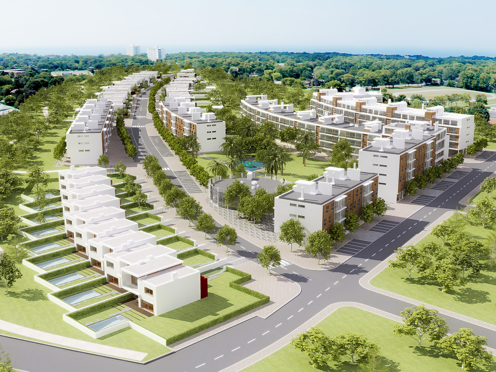
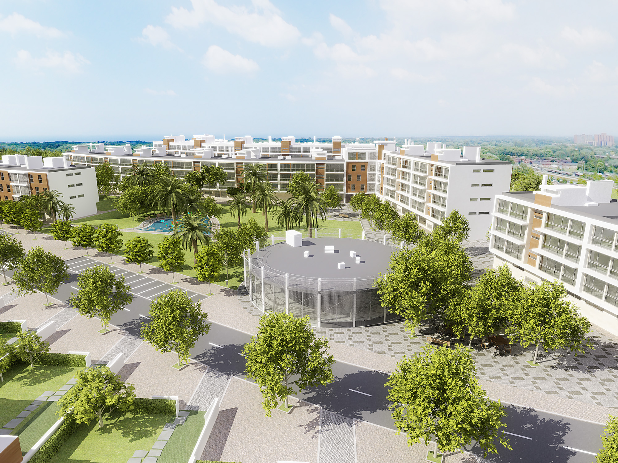
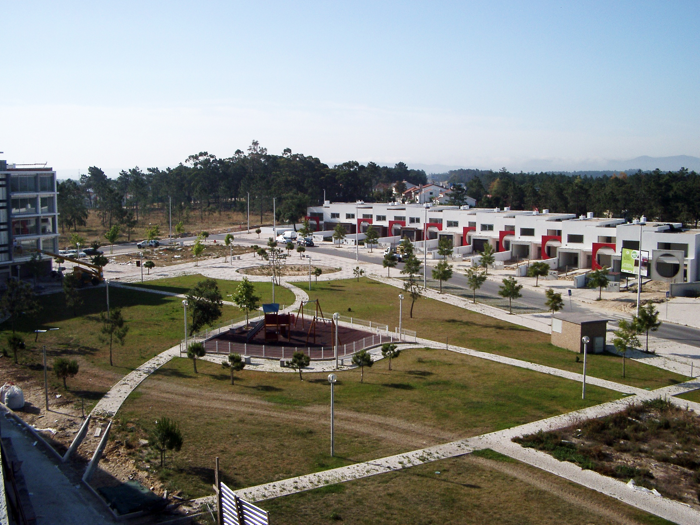
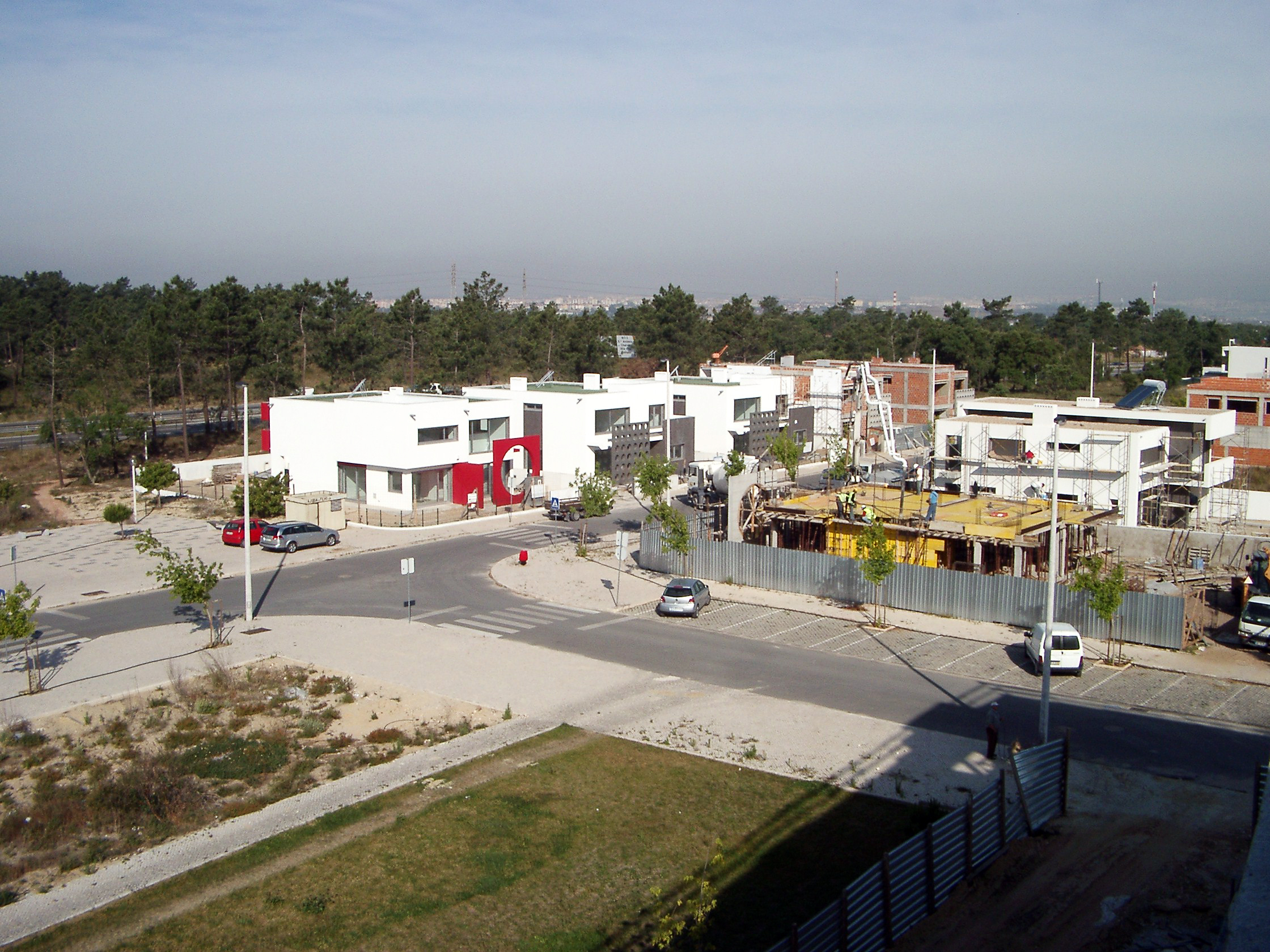
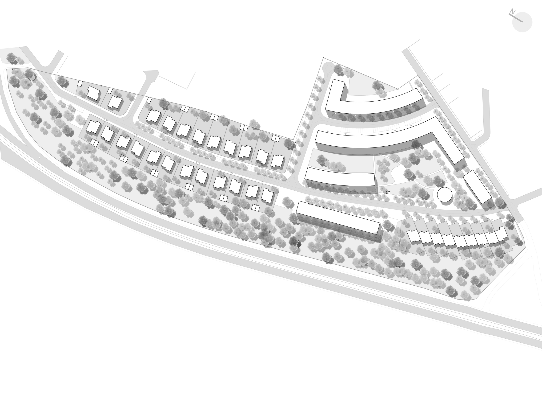
The implementation of the buildings is carried out in 59 individual units, based on two sets: one composed of multi-family residential buildings with and without commerce/services and one building for equipment, and the other composed of single-family residential buildings. It is intended that the set defined by the multi-family buildings together with the equipment building becomes the driving force of the entire development, along with the squares and playground created. The proposed occupation is supported by a road network that connects to the existing network to promote the natural evolution of the current urban fabric to the southeast. The proposal also relies on the topography of the site. The maintenance of the existing pedestrian passage to the south is ensured, from which a connection to the Machada National Forest is established, even though it is outside the infrastructure area. The urban design presented aims to create an urban space with high environmental quality, redesigning the traditional block image and constituting a new nucleus of urbanistic cells. The urban cell unit took into account the circle with a radius of 500 m centered on the set defined by the multi-family buildings. All buildings are adjacent to the roads, from which access to individual housing units and vertical communications of multi-family residential buildings is established. The distribution of housing complexes on the ground also took into account the characteristics of the existing soil, its topography, the direction and predominance of summer winds, exposure, and solar intensity values. In this sense, the proposed volumetrics tend to allow direct sunlight on all lots, as well as exposure to predominant summer winds. A discontinuity was even created at ground level in one of the lots to prevent the creation of eddies on the inner corner of lot 13. The study enables social control of public space, reinforcing user safety in urban space and promoting its use. The proposed green areas and naturalized areas are considerable in size for the scope of the subdivision operation. The distribution of tree species was carried out to emphasize paths and simultaneously create a barrier along the roads. This green structure thus provides an acoustic barrier, temperature control, and an improvement in air quality in the development. The landscaped and green areas are concentrated near the multi-family residential area, as in the single-family residential area, it is intended to promote such green space individually, allowing, however, that the visual enjoyment of the whole is possible for the users of the development. The naturalized area created in the strip with the highest tree density will have a pedestrian path for recreational walks and physical exercise, and it is also expected to be enjoyed with bicycles.
DRAWINGS
INFO
Location: Santo António da Charneca, Barreiro
Status: Completo
Year: 2002
Client: Adelino Martins
Area: 7,65 ha
Topographic Survey: Joaquim Vieira
Architecture: MA Arquitectos
Landscape Architecture: MA Arquitectos
Specialties: Paulo Matias, António Trindade
3D Visualization: MA Arquitectos
Construction Work: Adelino Martins
Supervision: MA Arquitectos
Photography: MA Arquitectos

